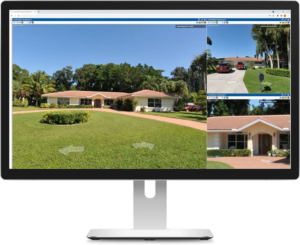
Street Level Imagery
StreetScape offers powerful visual intelligence that supports desktop insights and decision-making while reducing the need for field visits.
Our mobile camera system captures images every fifteen feet, ensuring accurate coverage with state-of-the-art collection software.
High resolution photos provide the necessary detail for tax assessment purposes and can be customized for your application.
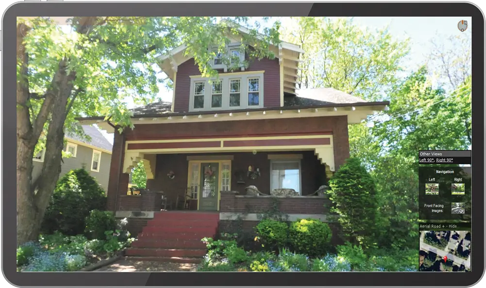
Preferred Property Image
High-quality images for each of your parcels are meticulously selected from multiple collected photos, choosing one preferred image for integration into your CAMA system.
Our technicians sort, inspect, and tag images by land use code, ensuring each structure optimizes the frame and view. Easily review and validate these selections using our web application to compare the selected images with oblique, aerial, and historic views, all overlaid on your parcel fabric for maximum accuracy checks.
Related Products

Sketch Verification | Sketch creation
Sketch Modification | Paper to Digital
Desktop Review | Management Module
Mobile Appraiser
STREETSCAPE TEAM

Rod Miller
Yanbo Zhou

Alex Howie
Jeff Hack

Joseph Gomes
Mark Sheppard

Jeff Young

Kyle Water
Dean Campbell

Rasika Lakmal
Contact
Locations:
London, ON
543 Ridout Street North
London, ON N6A 2P8
Toronto, ON
175 Bloor Street East, South Tower, Suite 1105
Toronto, ON M4W 3R8
Tampa, FL
N. Westshore Blvd, Suite 200
Tampa, FL 33607
Call:
1-866-963-2015 (Toll-free)
1-833-502-7742 (Sales)